ISBN: 979-8-3507-0695-6
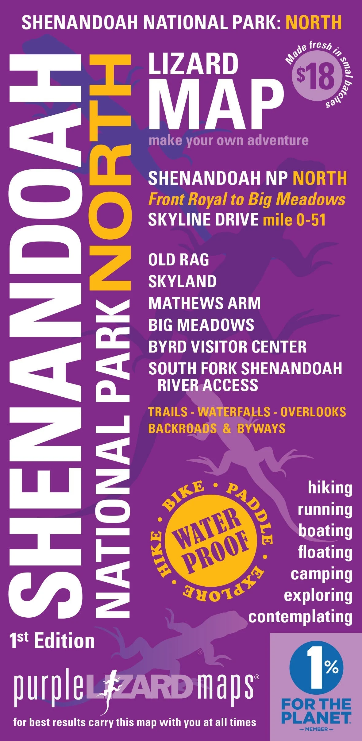
The Shenandoah National Park North Lizard Map includes the Park, Shenandoah Valley and surrounding mountains. It includes Skyline Drive from mile 0-51, from Front Royal to the Byrd Visitor Center. It is the most comprehensive, high quality, user-friendly and detailed topographic map available of this stunning landscape from Front Royal in the north to Luray in the south. It includes all the recreational options in the National Park, South Fork Shenandoah River, Page Valley, Shenandoah River State Park and portions of the George Washington National Forest to the west. A beautifully designed, easy to read, topographic outdoor recreation map featuring contour lines, elevation data, shaded relief, and all the key details you need to plan your adventures: backroads and trails, trail use designations, road surfaces (paved/gravel/4wd), parking access, campsites, public lands, historic sites and more.
Lizard Maps are durable, waterproof, and give you the big picture – the map opens to 24” x 36” and folds easily to 4” x 8” to fit in your back pocket. The scale is 1:46,900, 1 inch equals 3/4 mile.